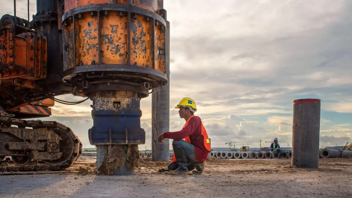
Edmonton’s winter freeze-thaw cycles and the underlying glacial geology create a unique set of challenges for seismic site characterization. The near-surface stratigraphy here is dominated by the Quaternary deposits of the Edmonton Formation, including glacial till, glaciolacustrine clays, and post-glacial sands — materials whose stiffness can vary by an order of magnitude between frozen and thawed states. MASW testing in the capital region provides the shear wave velocity profiles needed to anchor NBCC 2020 site classifications, moving beyond the default Site Class C assumption that the building code assigns when no geophysical data is available. Our field crews run active-source surveys with 24-channel seismographs and 4.5 Hz geophones along transects calibrated to the lot geometry typical of Edmonton industrial parks, downtown infill sites, and residential subdivisions in areas like Windermere and Summerside. When the client needs a full stiffness profile for liquefaction triggering analysis, we also integrate data from CPT testing to constrain the fine-grained interbeds that the Vs profile alone cannot distinguish.
A one-class site shift from C to D under NBCC 2020 can increase design spectral accelerations by over 20 percent — a VS30 measurement resolves that uncertainty before the foundation is sized.
Scope of work in Edmonton
Typical technical challenges in Edmonton
The most expensive mistake we see in Edmonton geotechnical reports is assigning Site Class C by default to a glacial-lake clay profile that should be Class D or even E. The NBCC permits the default classification only when no shear wave velocity data exists, but once a VS30 measurement is available, the engineer must use it — and if that number comes back below 180 m/s, the foundation design changes. We have measured VS30 values as low as 160 m/s in the soft clays near the old Lake Edmonton shoreline south of the Whitemud Drive, sites that would require dynamic analysis under NBCC Sentence 4.1.8.16. A second common pitfall is running a survey with too-short a spread length, which aliases the fundamental mode below 10 Hz and biases the inversion toward higher velocities. Our crew sizes the array so that the maximum wavelength recovered exceeds 60 metres, guaranteeing that the 30-metre average is based on real data, not an extrapolation from a shallow dispersion curve.
Our services
Our Edmonton MASW program covers the full workflow from site walk to sealed report, with services configured for the lot sizes and access constraints typical of the region.
VS30 Site Classification Survey
Active-source MASW line with 24-channel acquisition, dispersion curve picking, and 1D shear wave velocity inversion to 30 metres. Deliverable includes the Vs profile, the computed VS30 value, and the corresponding NBCC 2020 site class (A through E). Suitable for building permit submissions, foundation redesign, and seismic hazard updates in Edmonton neighborhoods from Terwillegar to Clareview.
Combined MASW + Refraction Tomography
Single-mobilization survey that acquires both the Rayleigh-wave dataset and a P-wave refraction profile. Used when the project requires Poisson’s ratio, dynamic Young’s modulus, or rippability assessment alongside the site class. Typical for river-valley sites where the Bearpaw shale is within 20 metres of grade and the structural engineer needs both Vs and Vp for soil-structure interaction modeling.
Questions and answers
What does a MASW / VS30 survey cost for a typical Edmonton single-lot residential site?
How does NBCC 2020 use the VS30 value for seismic design?
NBCC 2020 Table 4.1.8.4.A classifies sites from A (hard rock, Vs30 > 1500 m/s) to E (soft soil, Vs30 < 180 m/s) using the average shear wave velocity in the upper 30 metres. The site class determines the short-period and 1-second site coefficients Fa and Fv, which multiply the reference spectral accelerations. A lower VS30 generally produces higher Fa and Fv values, increasing the design base shear for the structure.
How long does the field work take and how much space do you need?
A single active-source MASW spread typically takes 90 minutes to set up, shoot, and pack up on a clear Edmonton lot. We need a linear corridor approximately 50 to 55 metres long by 3 metres wide, free of buried utilities and heavy vegetation. If the site is tighter — common in mature neighborhoods like Glenora or Westmount — we can shorten the spread and supplement with passive recordings from microtremor, though this adds processing time.
Can the Vs profile from MASW be used for liquefaction analysis?
Yes, the shear wave velocity profile derived from MASW can feed into Vs-based liquefaction triggering procedures such as those by Andrus and Stokoe or the updated Kayen et al. (2013) correlation. For Edmonton sites near the North Saskatchewan River where loose saturated sands are present, we recommend pairing the MASW line with a CPT sounding to obtain soil behavior type and fines content, which reduces the uncertainty in the cyclic resistance ratio calculation.